CRITICAL GROUNDWATER INSIGHT MADE AFFORDABLE
Lack of real-time groundwater data is causing unsustainable groundwater use across the globe. WaterMappers mission is to change this by mapping the world’s groundwater resources.
SUBDOWSER
“Well Sensors powered by Whysor”
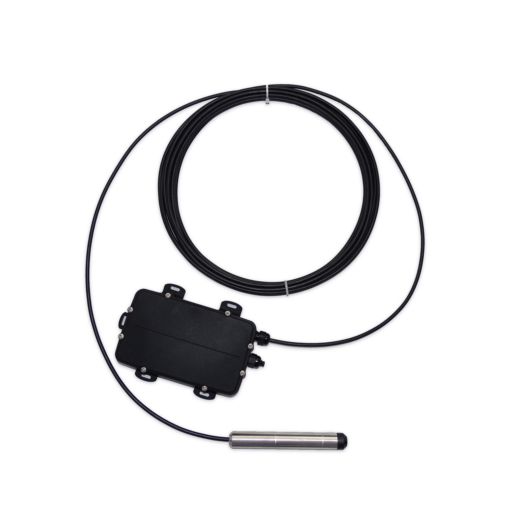
Buy data not hardware!
•For only 35 USD/Euro a month, water level and temperature data is delivered on a hassle free dashboard.
•We will only charge you if groundwater data is delivered reliably and will replace sensors as fast as possible if they stop working.
•We are currently shipping our easy-to-install sensors for free month-long pilots anywhere around the world where there is a reliable cellular data network and Fed Ex or DHL delivers. We are open to all pilot partners.
•Our sensors are developed, manufactured and monitored by Whysor, a proven environmental sensor company based in Holland. Whysor currently has 3k plus environmental IOT sensors deployed across 4 continents.
•Click here for technical specs of the sensor.
•Contact us now to start a free month-long pilot period!
Pay $35 a month only when groundwater data is reliably delivered
Real-time temperature, and water level data at customizable time intervals
Easy to install and remote customer installation support available as needed
Security: end-to-end-encrypted
Always connected through a cellular network
SubDowser’s Online Platform
POWERED BY WHYSOR
Our online cloud-based platform allows you to track your groundwater level temperature data in real time.
Click here to see real-time data reports from our initial sensor in the Netherlands.
Automated data analytics, manual modifications and corrections of data
Once a month data analysis consultation with a Watermappers expert
Manual adjustable alerts
Raw and modified data downloadable or connectable through API for users only
Filtered groundwater data shared transparently on an open web-based platform
QUALITY tESTING
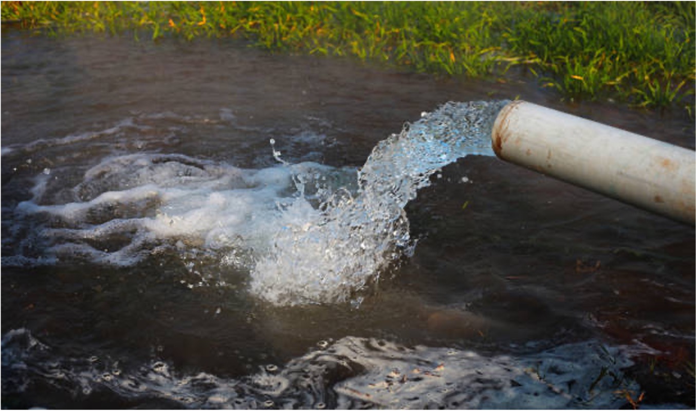
Water Mappers partners with GoSimple Labs in the United States to offer periodic water quality lab testing to all clients. Tests can be purchased on a one-time basis for $210 or added onto you monthly level sensor payment at a rate of $17.50 per month per test. Logistics is easy and all data will be accessible on your customizable online dashboard. Click here to see a sample water quality report.
-Water Quality Tests include measurements and alerts for:
-92 Heavy Metals
-2 Fertilizers
-25 Properties
-8 Bacteria
-13 Non-Metal Inorganics
-6 Calculated Parameters
THE R&D PIPELINE
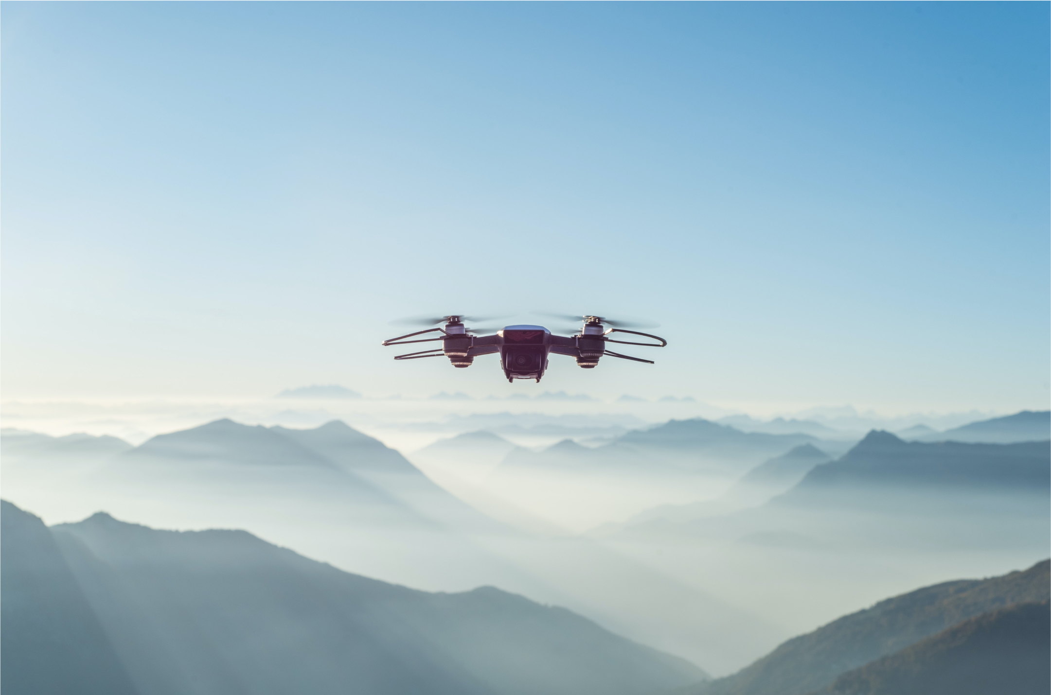
Affordable wider-spread water level and temperature data is only just the beginning. A truly actionable ground water map would combine widespread relevant multiple parameter data (IE conductivity, PH, arsenic etc) and real time, affordable aerial groundwater scanning and satellite data.
WaterMappers is currently developing:
1) Multiple parameters real-time sensors -> conductivity ready Q1 2023
2) Digitized real-life ground water modeling
3) Skydowser – Drone based sensor
Please share with us your real time monitoring needs with this quick three question survey.
FLOOD WARNING SySTEM
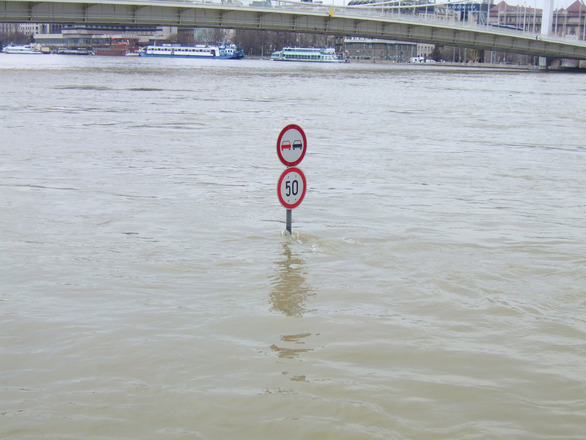
While groundwater is our primary focus, real time water level data sensors can also be installed in PCV piping in lakes, rivers, and ponds. We can then link our data system to rapid widespread SMS platforms to serve as an early flood warning system for relevant officials or the public at large. Please contact us if you are interested in using our affordable systems for this life-saving function.
THE TEAM
Meet the people making it happen
Sjoerd Dijkstra
(MSc Aerospace Engineering, Delft U of Technology)
Is an experienced social entrepreneur, having led business development and strategic marketing for multiple initiatives. Sjoerd is the founder and initiator of Watermappers and is currently serving as general manager.
Erik Van der Putte
(MSc Geotechnical Engineering, Delft U of Technology)
Is a Sweco Project Manager specializing in geotechnical engineering and geophysical research for a wide differential of clients. Erik will support client installations and provide monthly data consultations.
Charles Richter
(MBA Thunderbird School of Global Management)
Is a Washington DC based fundraising and social enterprise business development expert with experience raising grants and investment capital in the US and Europe. Charlie leads marketing, and business development efforts.
Marcel Steegh
(Bsc, Electronics, Commercial Technical)
Is an environmental entrepreneur, and founder and CEO of Whysor, which currently has 3k plus sensors deployed across 4 continents. Marcel is responsible for ensuring the sensor devices and the IoT Platform function reliably and deliver user-friendly data.
Technology Partners
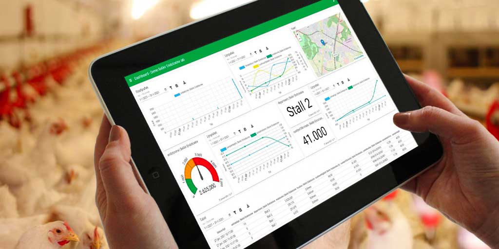
Whysor
Whysor, our primary sensor development partner, has designed soil and noise sensors for a variety of applications in Europe and North America and has a dedicated staff of engineers and database engineers based in Holland. Whysors three thousand plus sensors in the field include noise and moisture sensors used for various socially and environmentally responsible causes. Watermappers sensors, and data platforms are entirely powered by Whysor.
OTHER PARTNERS
Our other partners include environmental monitoring, and academic partners in Holland, as well as Mexico, and India, two countries that are in particular need of transparent groundwater mapping.
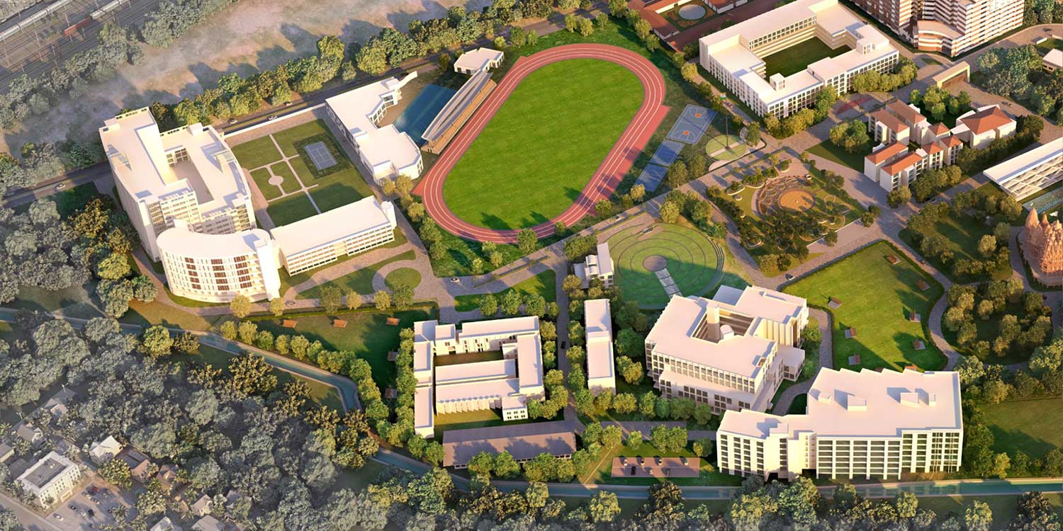
Somaiya University
A leading private university in Mumbai India. Somaiya is collaborating on the development of the skydowser and will help WaterMappers launch initial projects in India.

Delft University of Technology
Globally recognized for its technology development, particularly in water research. The Watermappers project was born out of and supported by the Delt University since its inception.
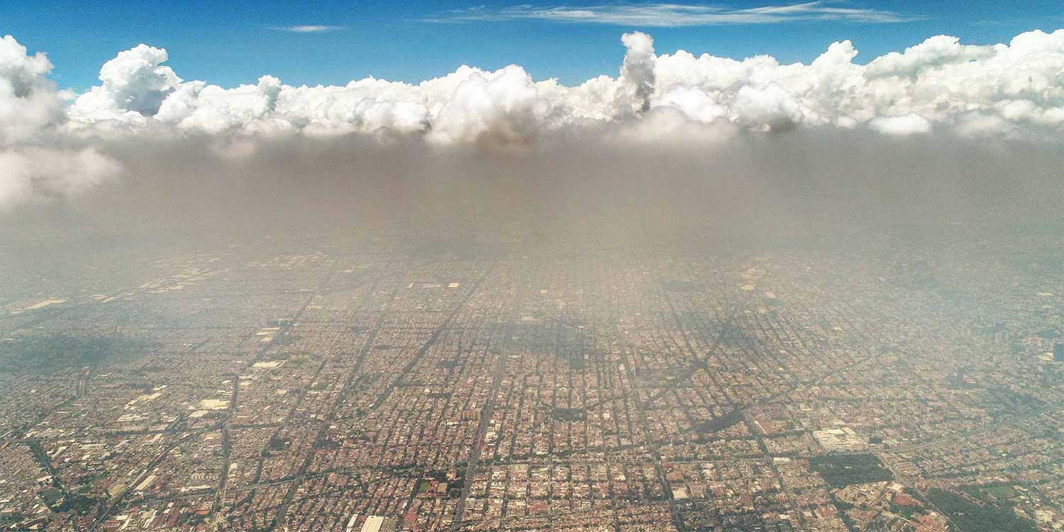
Smability
A Mexico City based company specialized in the development of affordable IOT environmental sensors. Smability has designed and deployed affordable air quality sensors in Latin America for over five years and led the design and piloting of Watermappers initial well sensors. WaterMappers partners with Smability for projects across Latin America.
Technology Partners

A dutch company that develops software for agribusiness
Whysor, our primary sensor development partner, has designed soil and noise sensors for a variety of applications in Europe and North America and has a dedicated staff of engineers and database engineers based in Holland. Whysors three thousand plus sensors in the field include noise and moisture sensors used for various socially and environmentally responsible causes. Watermappers sensors, and data platforms are entirely powered by Whysor.
OTHER Partners
Our other partners include environmental monitoring, and academic partners in Holland, as well as Mexico, and India, two countries that are in particular need of transparent groundwater mapping.

Somaiya University
A leading private university in Mumbai India. Somaiya is collaborating on the development of the skydowser and will help WaterMappers launch initial projects in India.

Delft University of Technology
Globally recognized for its technology development, particularly in water research. The Watermappers project was born out of and supported by the Delt University since its inception.

Smability (Change as needed)
A Mexico City based company specialized in the development of affordable IOT environmental sensors. Smability has designed and deployed affordable air quality sensors in Latin America for over five years and led the design and piloting of Watermappers initial well sensors. WaterMappers partners with Smability for projects across Latin America.


